
Weather Info > Satellite/Radar [Refresh] [中文]
Quick links:
- Satellite images
- Radar images
 Satellite Images Satellite Images |
All pictures in this section are real-time images. Click on the thumbnails to view the original size of the satellite images.
1. Provided by the Geostationary Satellite Server of the NOAA Satellite and Information Service
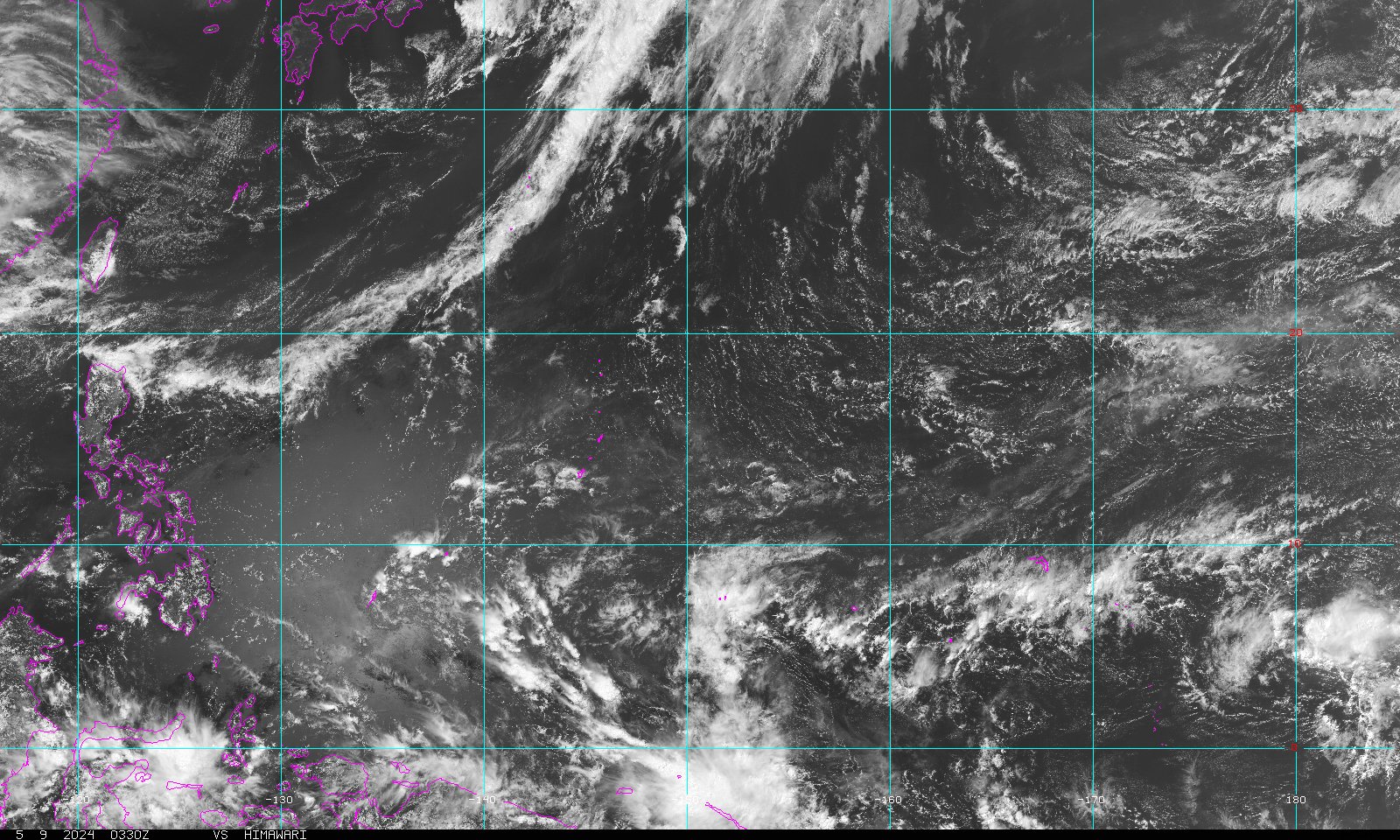
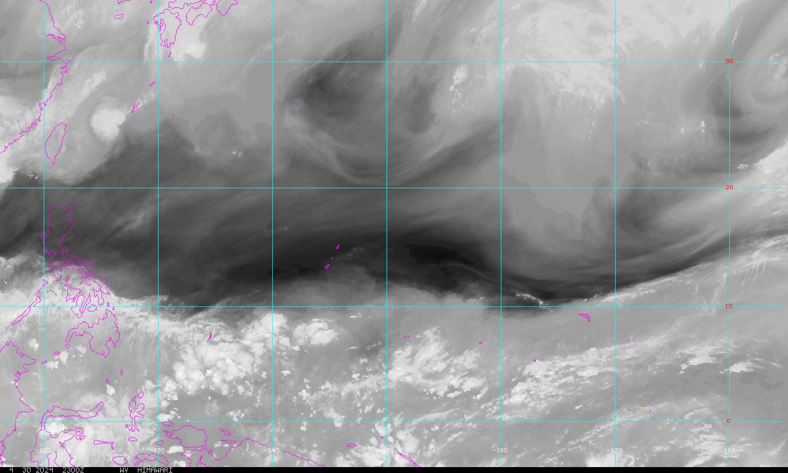
| Guam Sector (Covers area bounded by 4S - 34N, 118 - 175 E) | |||
| Visible Imagery | Infra-red Imagery (B & W) | Infra-red Imagery (Colorized) | Water Vapour Imagery |
 |
 |
 |
 |
| South Hemisphere Sector (Covers area bounded by 16S - 26N, 90 - 150 E) | |||
| Visible Imagery | Infra-red Imagery (B & W) | Infra-red Imagery (Colorized) | Water Vapour Imagery |
 |
 |
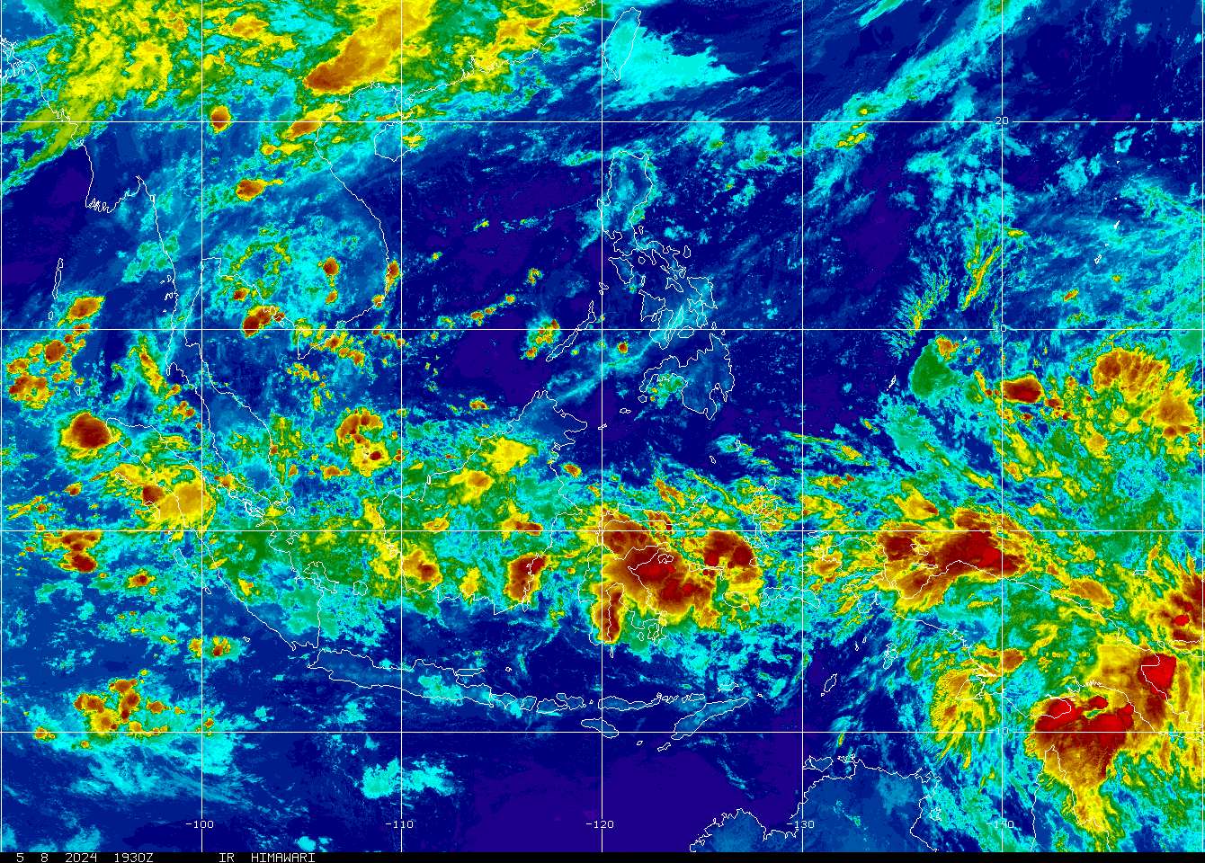 |
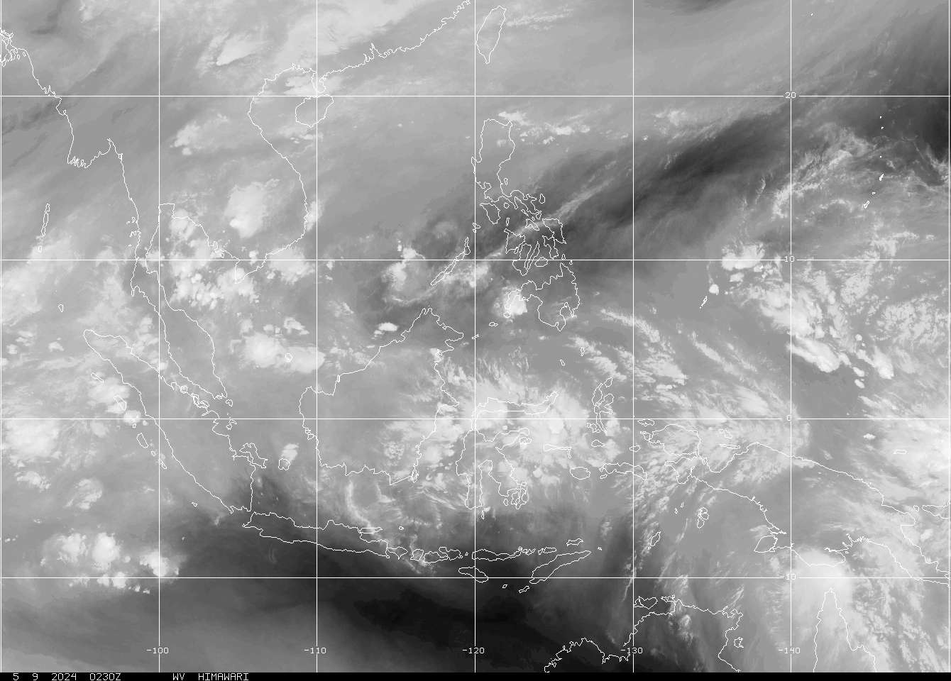 |
2. Provided by the Hong Kong Observatory (HKO)
| Himawari-8 Infra-red / Visible* |
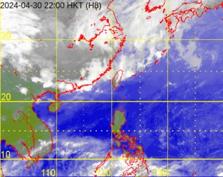 |
* Himawari-8 images are taken by Japan Meteorological Agency (JMA).
3. Provided by the Central Weather Bureau (CWB)
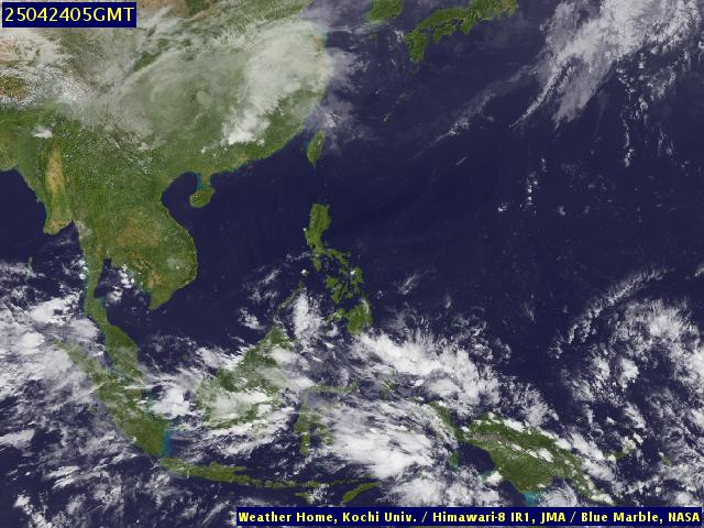
4. Provided by the Kochi University of Japan (Infra-red Imagery)
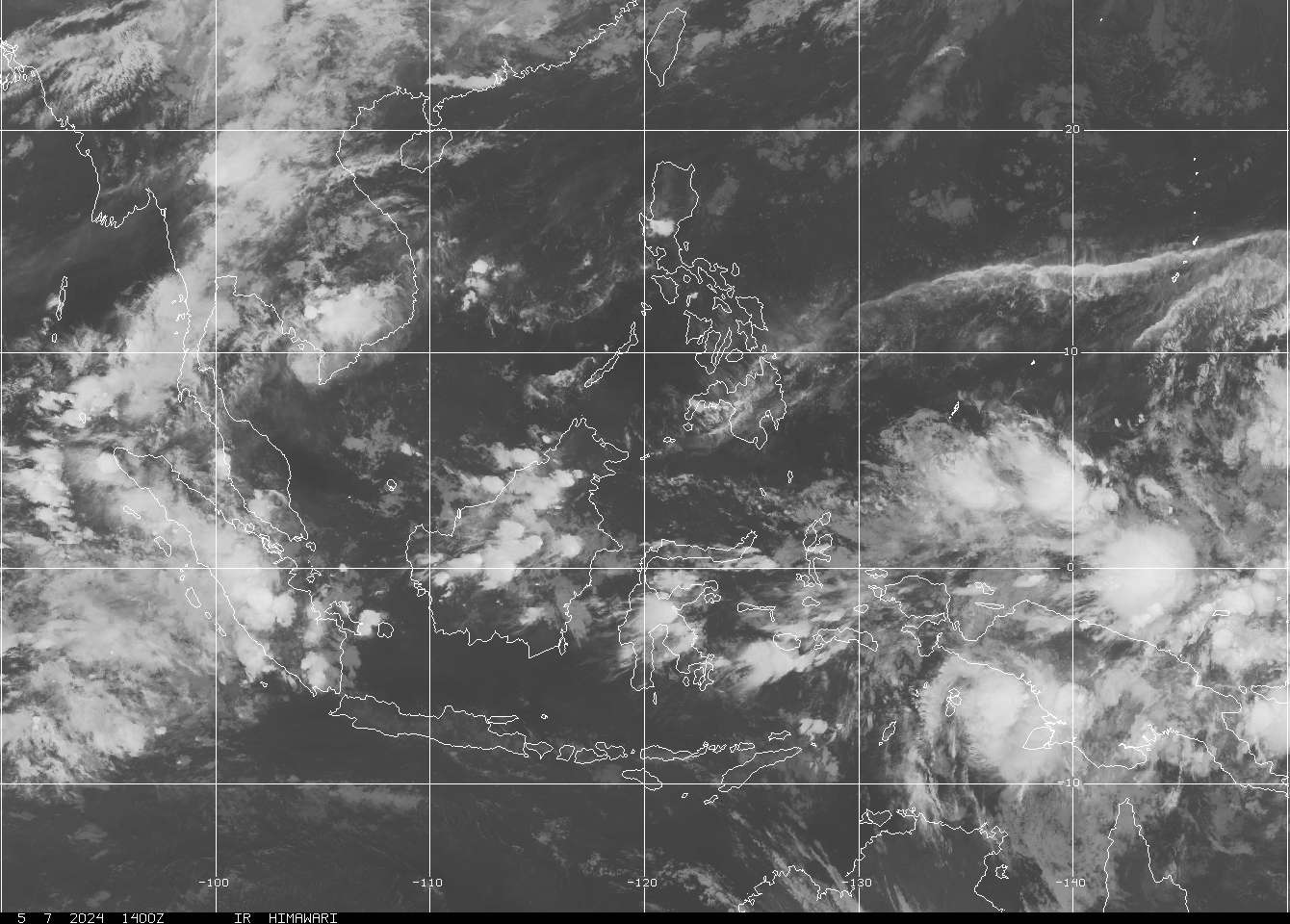
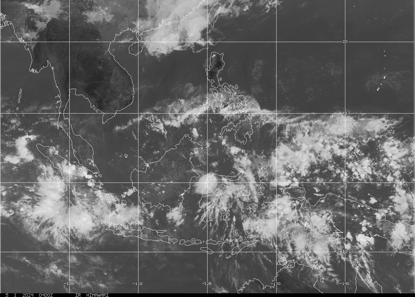
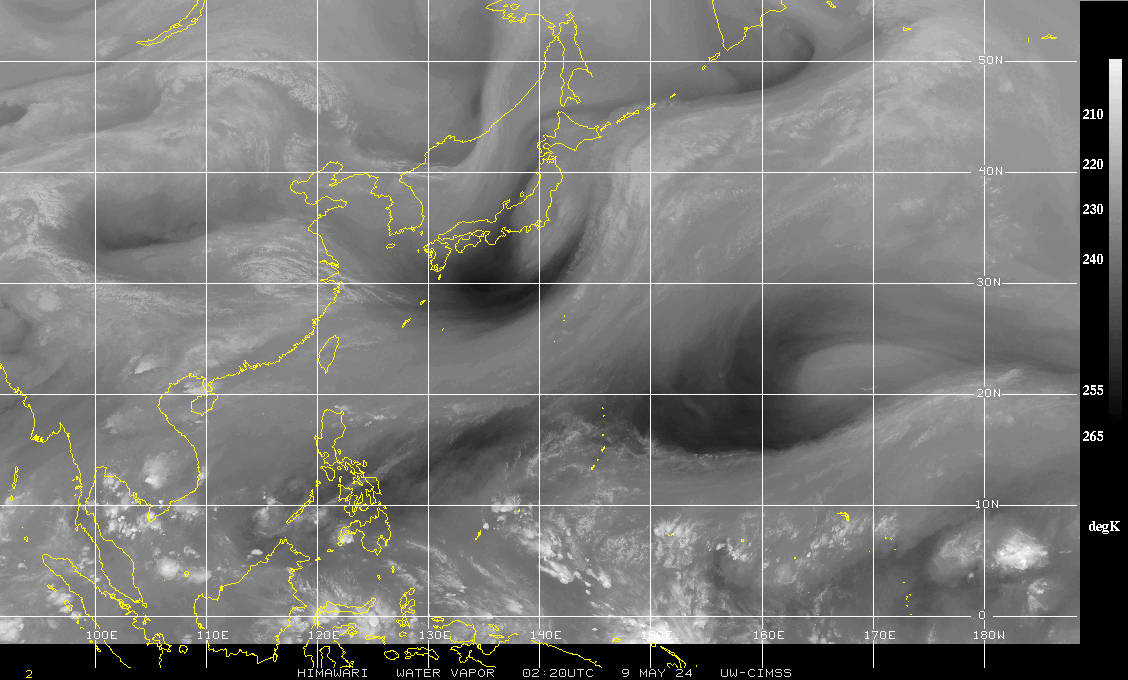
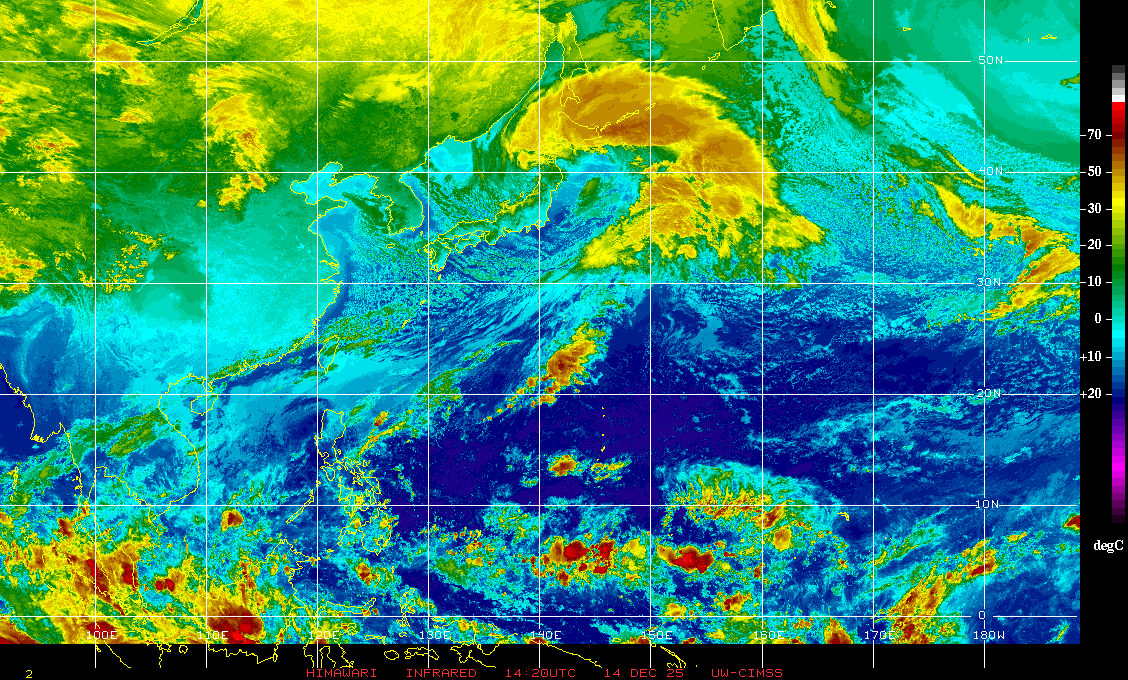
5. Provided by the Cooperative Institute for Meteorological Satellite Studies (CIMSS)
| Water Vapour Imagery | Infra-red Imagery (B & W) | Infra-red Imagery |
Infra-red Imagery (BD Enhancement) |
 |
 |
 |
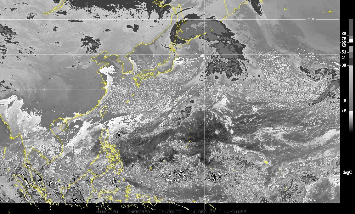 |
Images are captured by Himawari.
6. Provided by the Japan Meteorological Agency (JMA)
Please click here for the images.
7. Provided by the Direcção dos Serviços Meteorológicos e Geofísicos (SMG)
Please click here for the images.
| Radar Images |
With the exception of HKO imageries, all pictures in this section are real-time images. Click on the thumbnails to view the original size of the radar images.
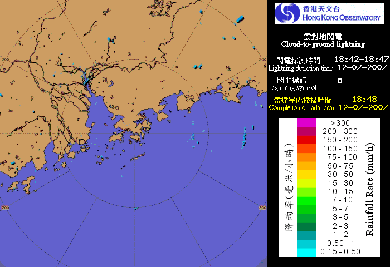
1. Provided by the Hong Kong Observatory (HKO)
| 256 / 128 / 64-km Range |
 |
| Radar image with lightning location information |
 |
2. Provided by China Weather
Please click here for the images.
3. Provided by the Central Weather Bureau (CWB)
4. Provided by the Direcção dos Serviços Meteorológicos e Geofísicos (SMG)
Please click here for the images.
Last Accessed: Sat Jul 27 2024 17:42:13 HKT
Last Modified: Mon Jul 24 2023
